Ireland Map Activity
Time to map and learn!
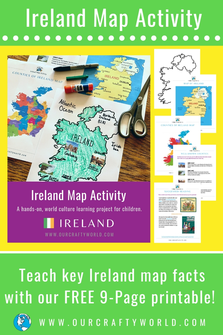
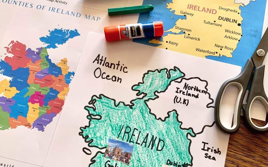
In this blog post, I am offering a FREE 9-Page printable called the Ireland Map Activity.
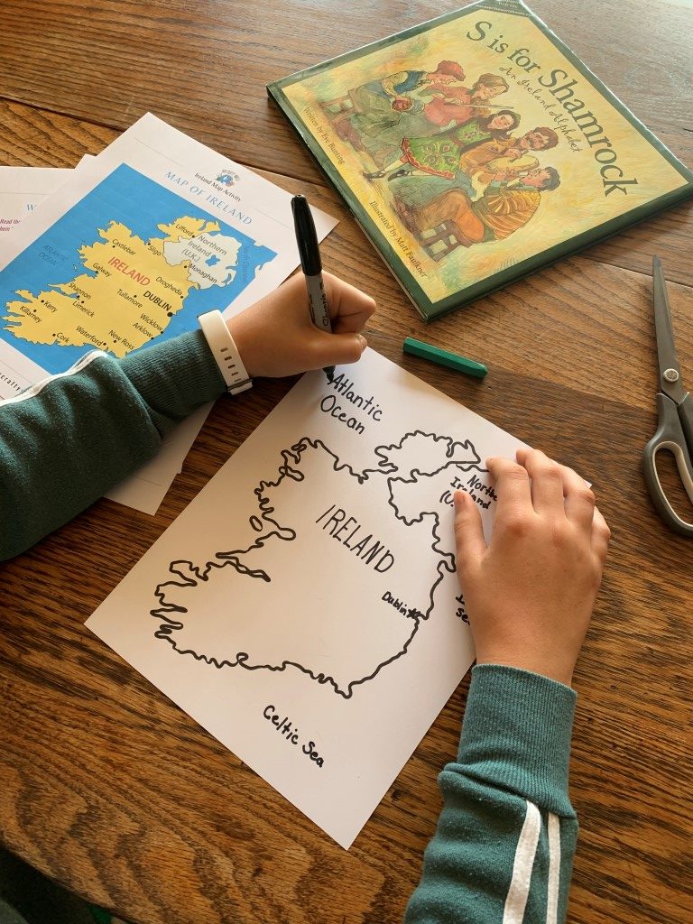
In this simple activity, children will label and color a map of Ireland in order to learn the following key geographical aspects:
Capital
Bordering countries
Bodies of water
4 well-known counties of Ireland
Suggested reading
Additional Resources from Our Crafty World
THIS IRELAND MAP ACTIVITY WILL PUT SMILES ON YOUR LEARNERS
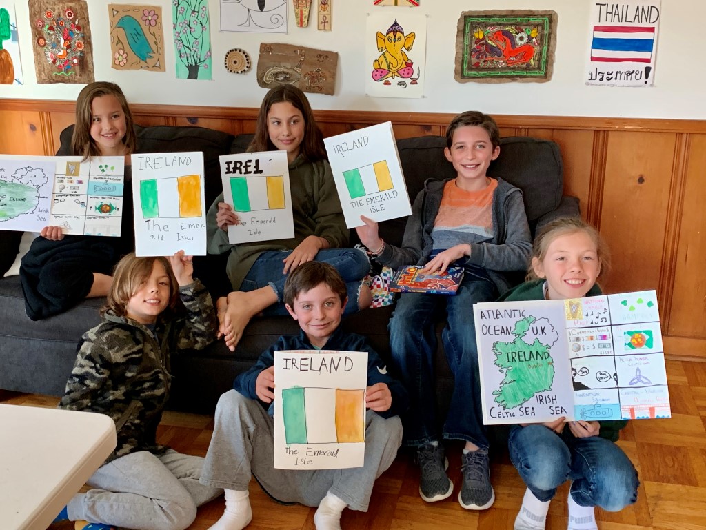
I got the idea for this activity during my last Ireland class for kids in which we made these Ireland Country Facts Books.
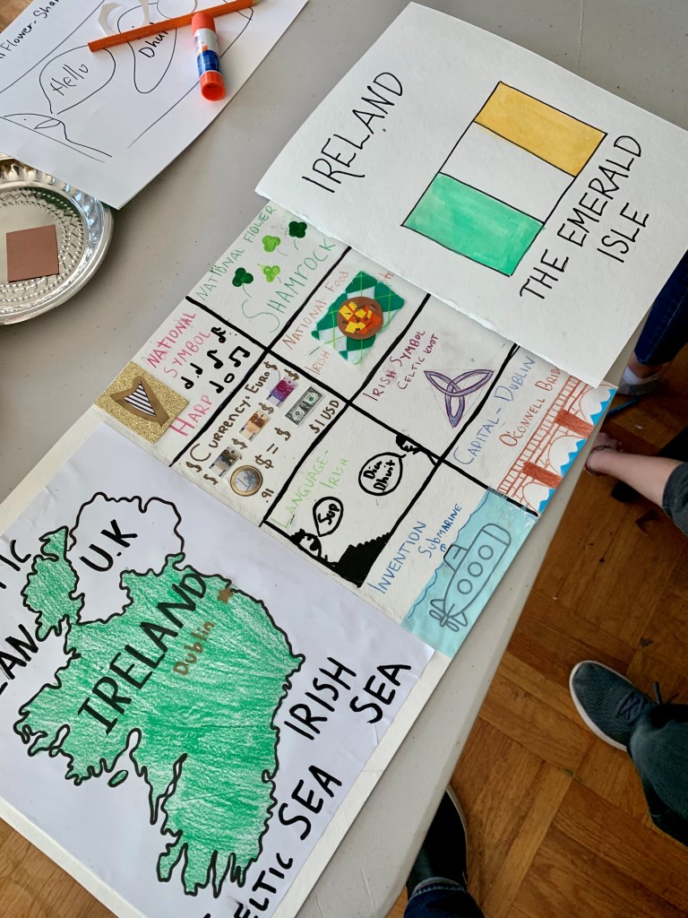
The map was just one aspect of a much larger project, but after seeing the delight of my students in making these maps, I just had to create a separate Ireland Map Activity to share with others.
WITH OUR FREE DOWNLOAD AND VERY FEW SUPPLIES, YOUR LEARNERS ARE READY TO GET MAPPING
This project takes no more than 30 minutes and can serve as a solid foundation for further studies about Ireland.
I encourage you to add any elements you feel are important or add creativity and fun for your learners.
Everybody loves a good map!
ADDITIONAL RESOURCES TO ENHANCE THIS IRELAND CRAFT FOR KIDS
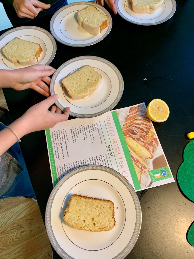
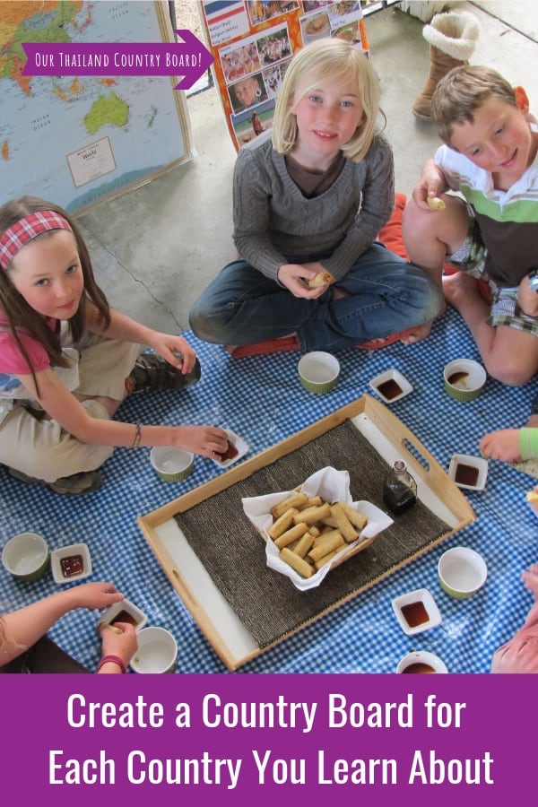
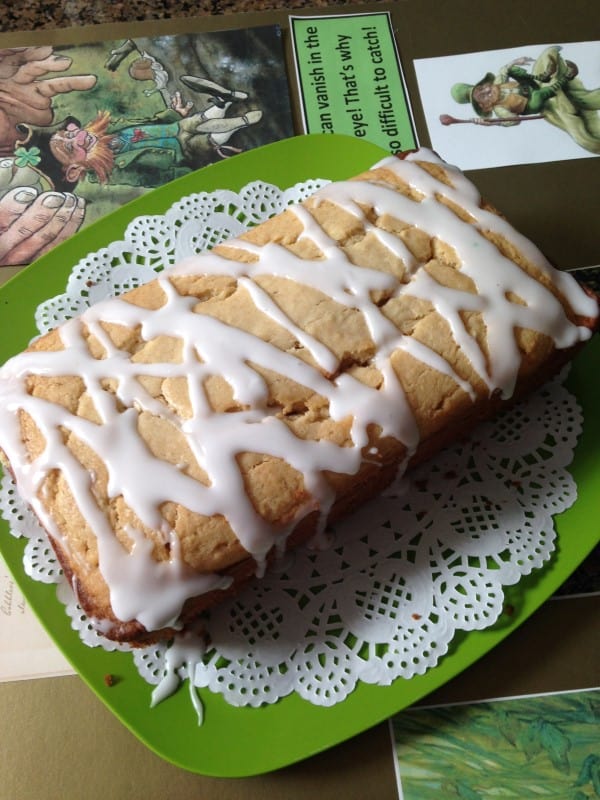
As with every world culture class I teach, offering food from each country is MUST.
For our Ireland class, I served Glazed Irish Teacake, which got a clear “thumbs up” from all of my students.
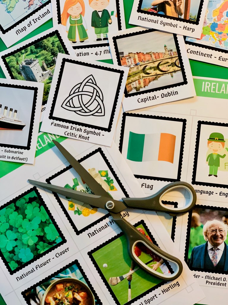
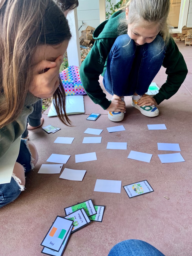
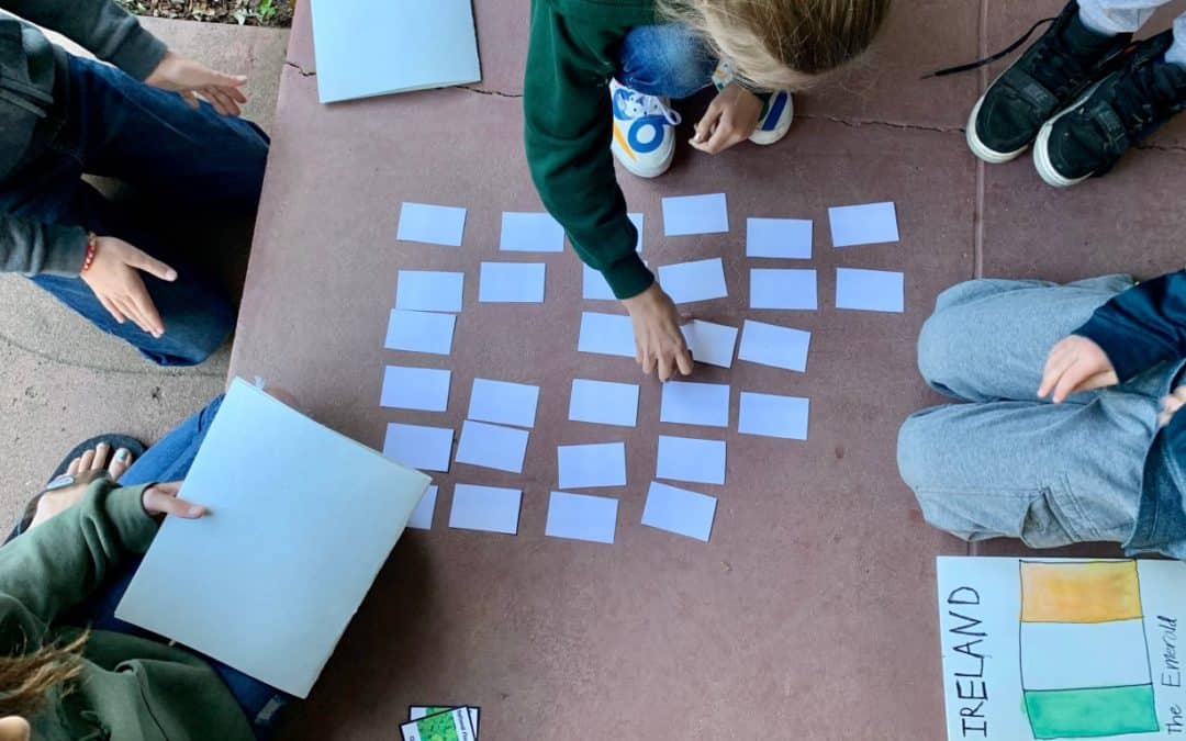
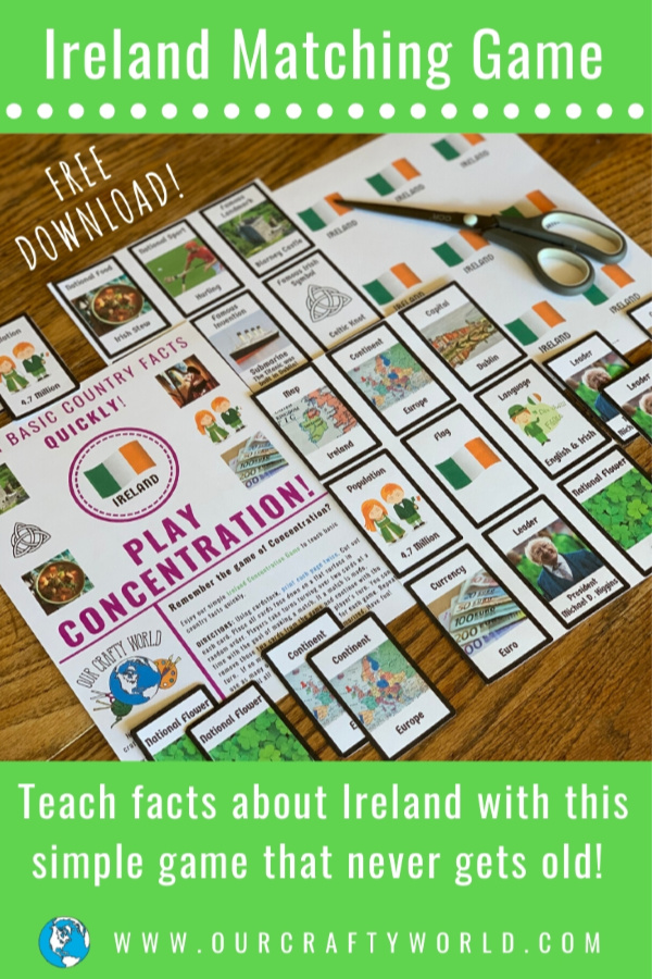
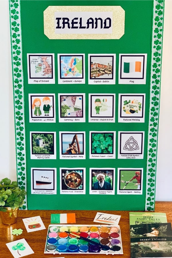
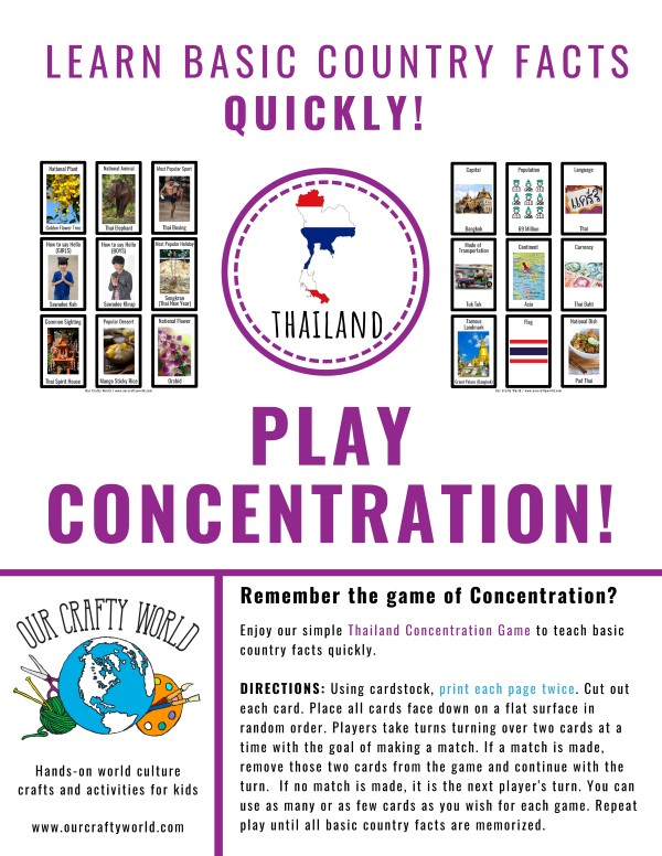
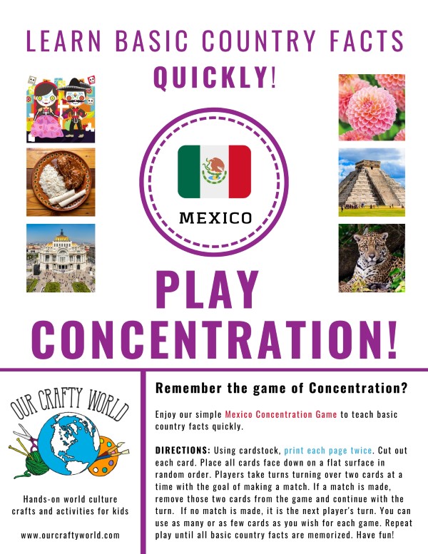
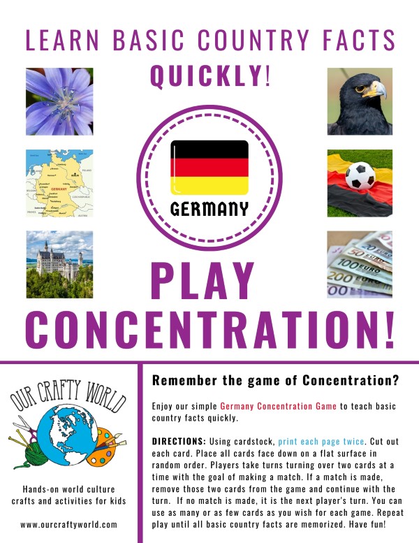
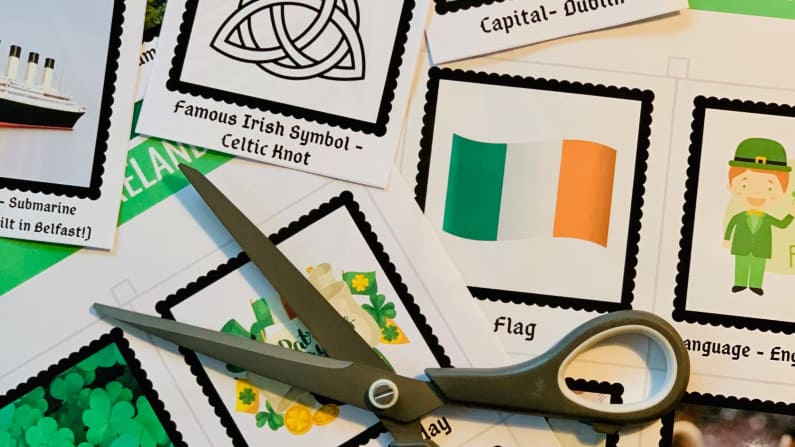
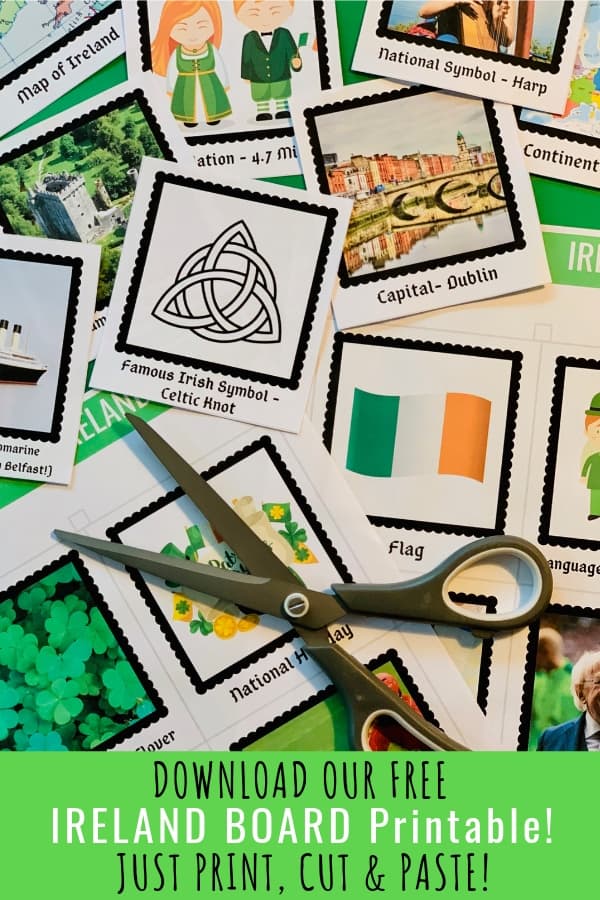
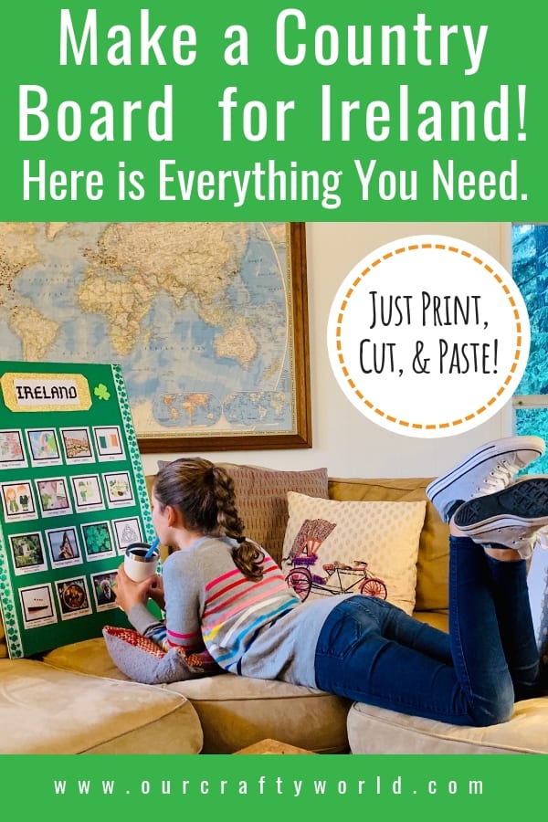
You may also enjoy our FREE Ireland Country Board or Ireland Concentration Game printables.
The facts and photos used in these two printables mirror each other so that after you present the country board, your learners can move on to a fun, group game.
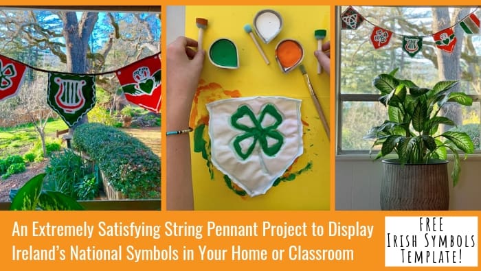
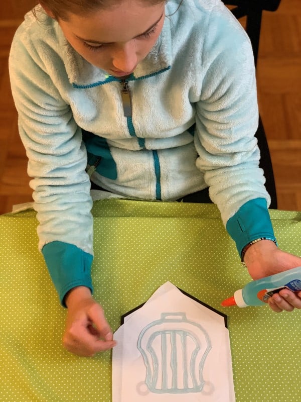
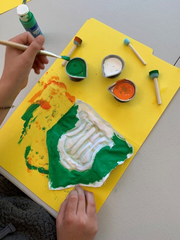
For more Ireland crafts for kids, please visit our Ireland Projects Page by clicking here.
What map activities have you done with your learners?
I invite you to leave a comment about this Ireland crafts for kids below.
